Latest Activation
Charter activations
Floods in Romania and Ukraine
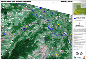
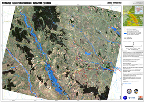
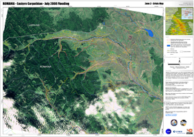
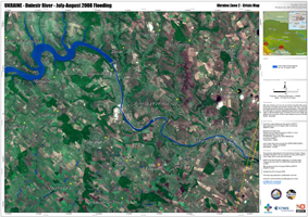
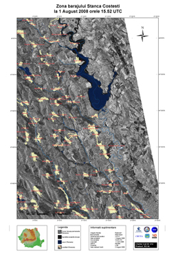
Thousands of people were evacuated in northeastern Romania after heavy rains caused massive flooding that swept away homes, cut off electricity and damaged roads. At least four people died and two people are still missing. After days of heavy rain at the end July around the Carpathian Mountains, floods have hit western and southern Ukraine with rivers, including the Dniestr and the Prut Rivers, bursting their banks. The floods are the worst seen in a century, leading the government to declare the region a national disaster area. Hundreds of towns and villages are affected with more than 40,000 houses affected and some 20,000 people evacuated.
| Type of Event: | Floods |
| Location of Event: | Northern / North-Eastern Romania and Ukraine |
| Date of Charter Activation: | 28/07/2008 |
| Charter Requestor: | Romanian Space Agency (ROSA) |
| Project Management: | CNES |
Products
 Back to the full activation archive

 English
 Spanish
 French
 Chinese
 Russian
 Portuguese
