 English
 Spanish
 French
 Chinese
 Russian
 Portuguese
 最新宪章启动
Charter activations
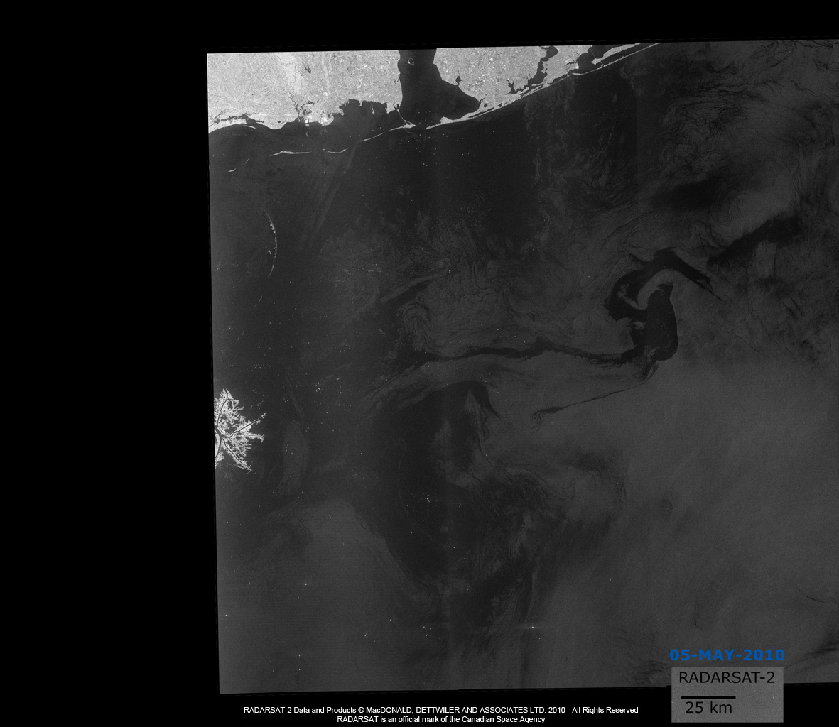
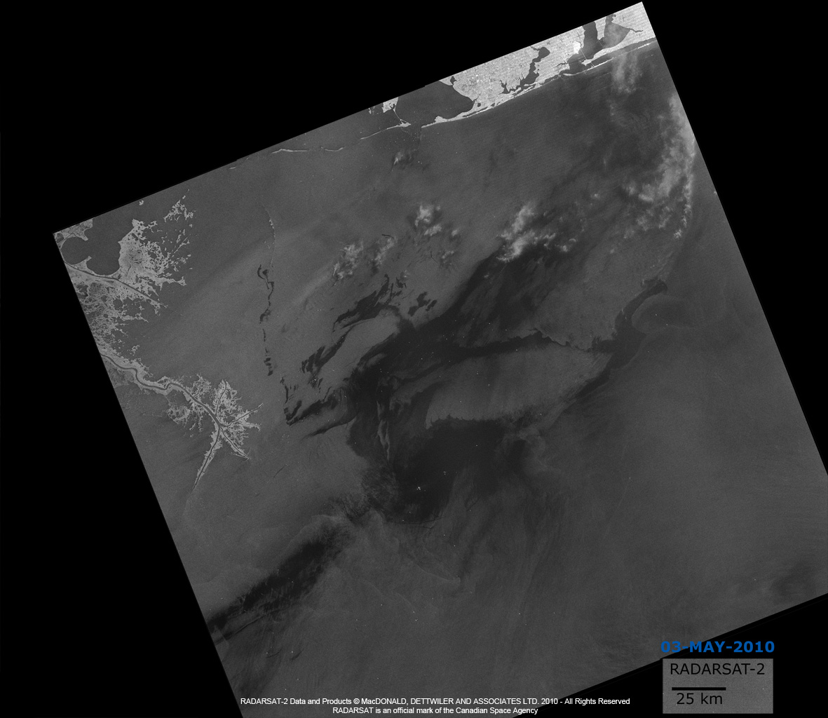
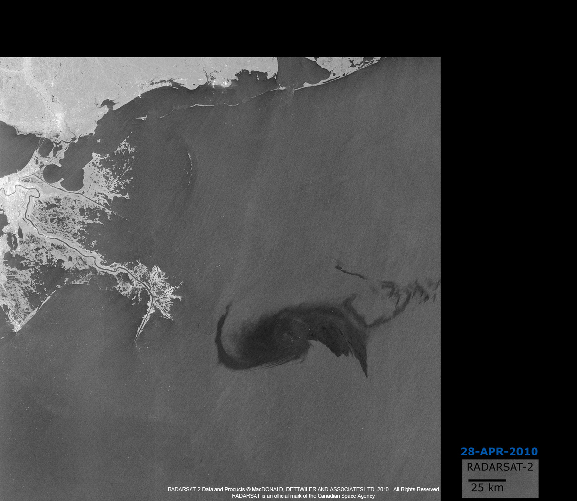
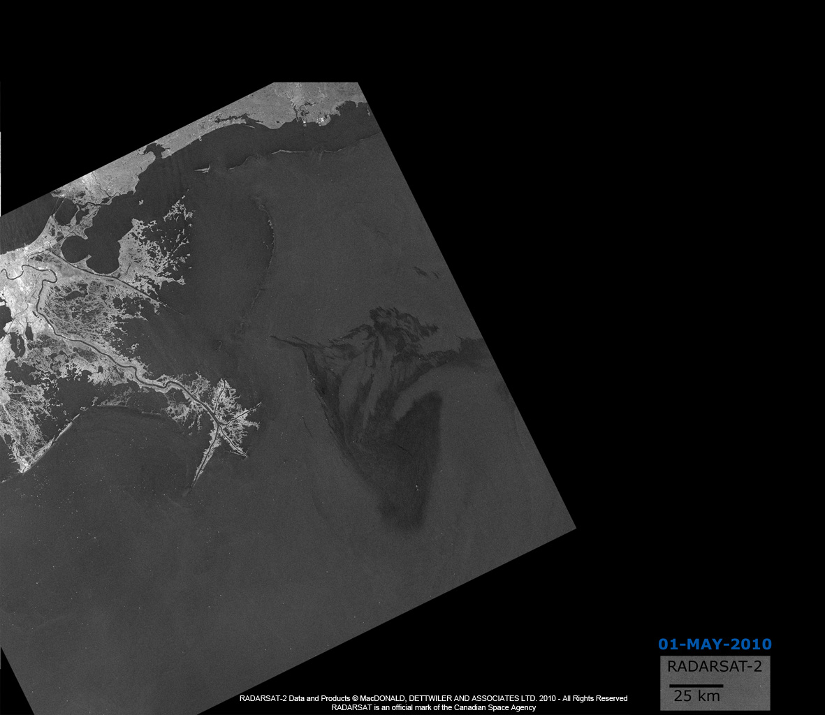
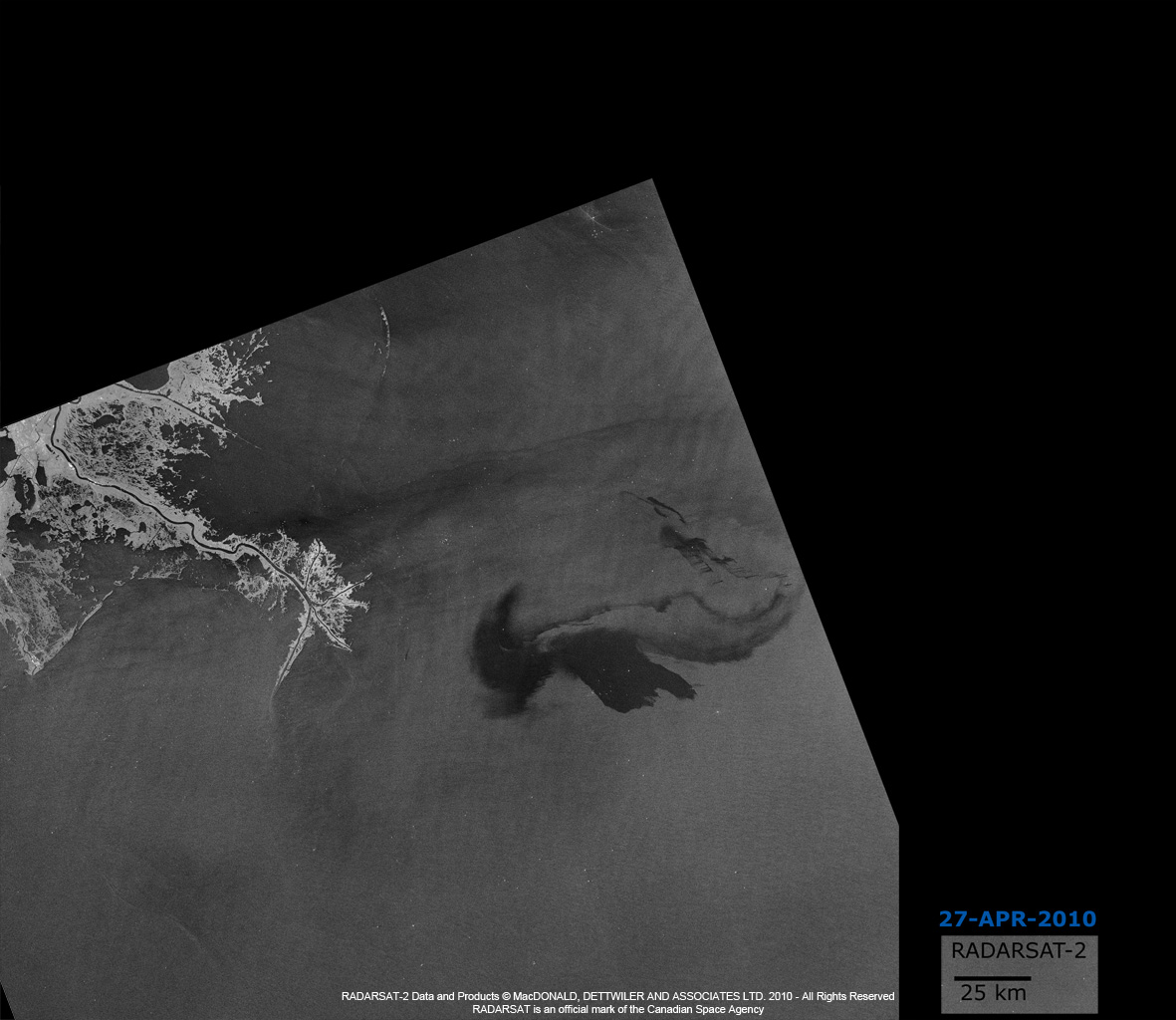
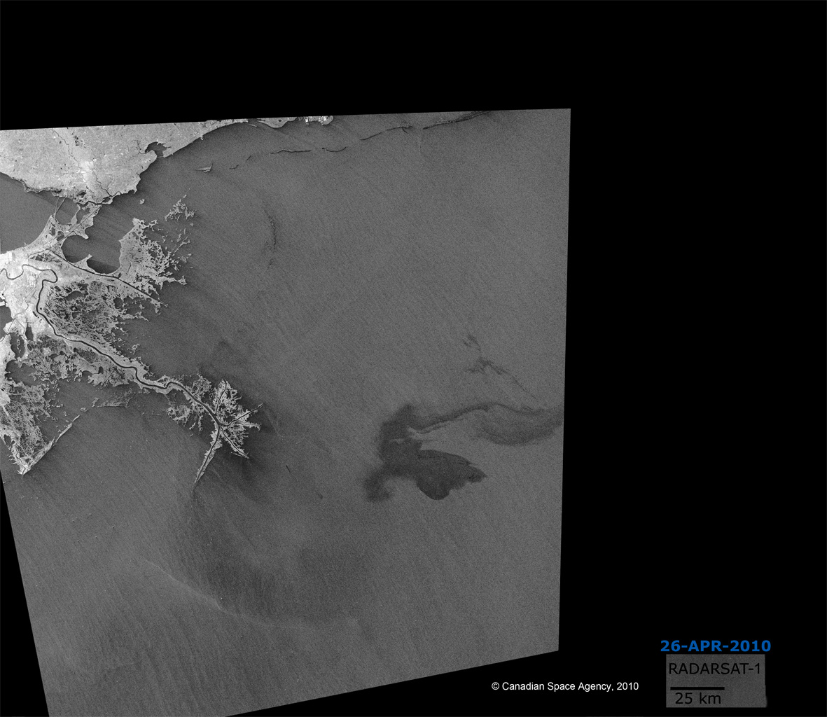
墨西哥湾溢油
距路易斯安那州海岸70公里处的一座石油平台于2010年4月22日在墨西哥湾沉没,造成海上溢油。
| 事件类型: | 溢油 |
| 事件地点: | 墨西哥湾 |
| 启动宪章的日期: | 2010年4月22日 |
| 宪章要求者: | USGS代表美国海岸警卫队 |
| 项目经理: | NOAA |
Products
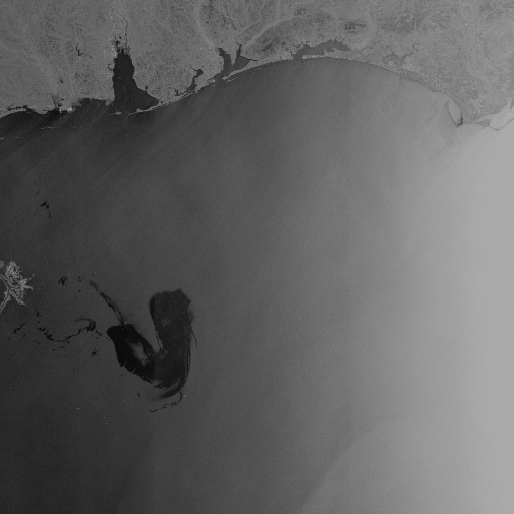
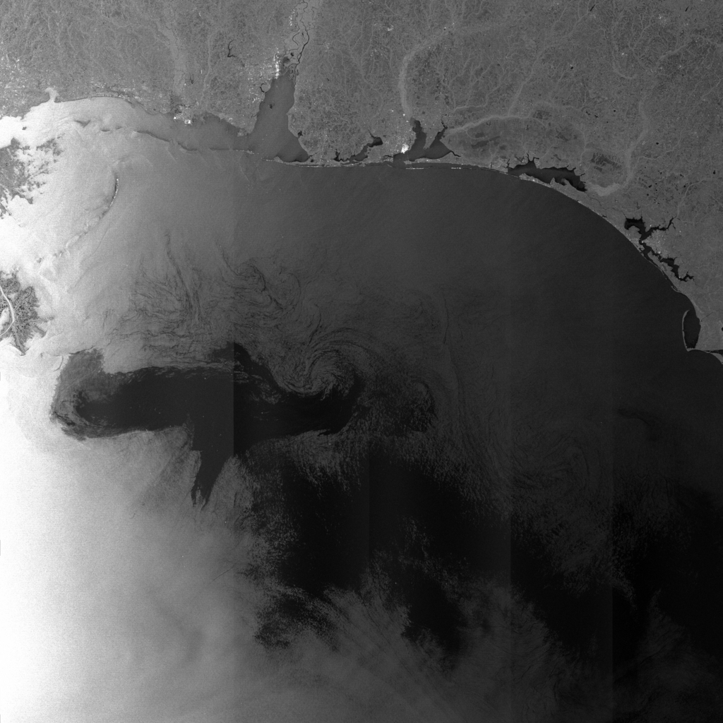
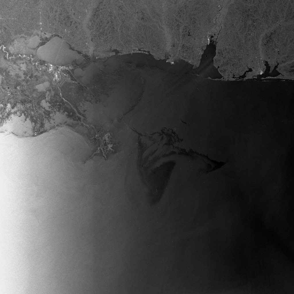
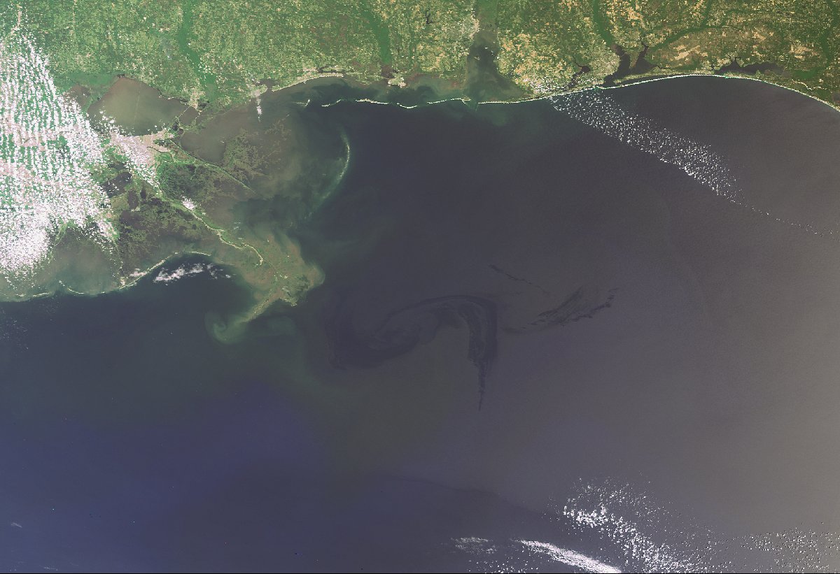
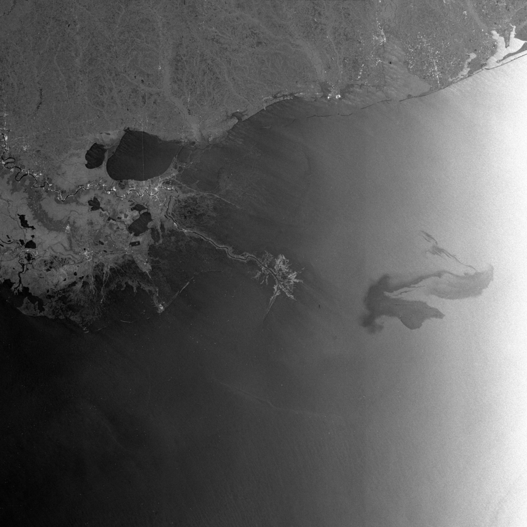
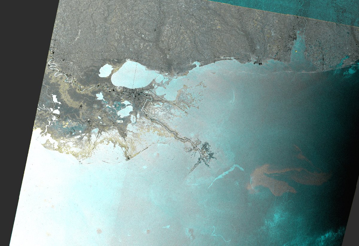
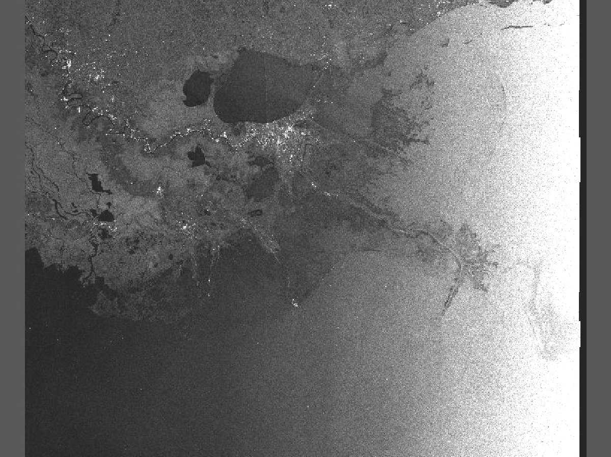
Oil Spill in the Gulf of Mexico - Color composite image. ENVISAT ASAR WS acquired on 26/04/2010 superimposed to a reference ENVISAT ASAR WS acquired on 28/09/2009. The oil slick appears in light gray while light blue features correspond to the reference image.
版权: European Space Agency
Image processing, map created by ESA
Information about the Product
已获得: 26/04/2010
源: Envisat ASAR WS
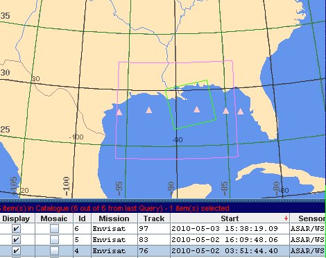
 返回完整的响应档案

