Charter activations
萨克森州和巴伐利亚州洪水(德国南部)
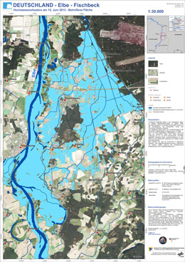
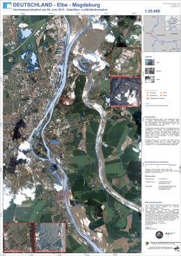
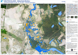
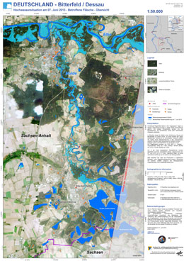
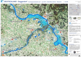
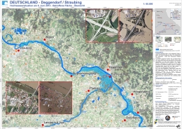
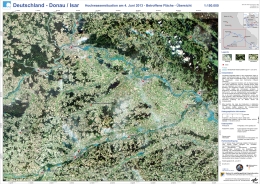
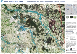
周末期间的暴雨导致德国南部萨克森州和巴伐利亚州的河流水位急剧上升。
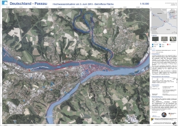
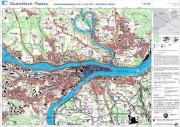
帕绍和罗森海姆两座城市已宣布进入紧急状态。巴伐利亚州的洪水预警机构预报雨势还将更大,会对多瑙河和因河造成影响。其他受灾地区包括萨克森州、图林根州和巴登-符腾堡州。
紧急救援措施正在进行中,军队已被部署在洪水达到纪录水位后对受灾地区展开支援。
| 事件类型: | 洪水 |
| 事件地点: | 德国(萨克森州和巴伐利亚州) |
| 启动宪章的日期: | 2013年6月2日 |
| 宪章要求者: | 联邦民防与灾害援助办公室/德国信息与情势联合中心 |
| 项目经理: | 德国宇航中心星基危机信息中心(ZKI) |
Products
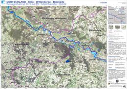
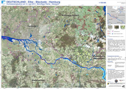
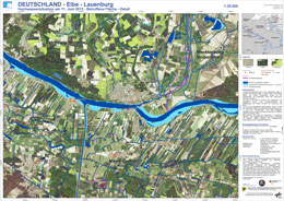
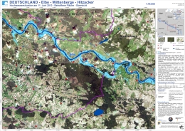
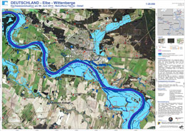
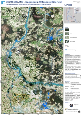
Flood extent - Elbe - Wittenberge - Bleckede, Germany
版权: RADARSAT-2 Data and Products © MacDonald, Dettwiler and Associates Ltd. (2013) - All Rights Reserved. RADARSAT is an official trademark of the Canadian Space Agency
Map produced by ZKI
Information about the Product
已获得: 08/06/2013 and 12/06/2013
源: RADARSAT-2
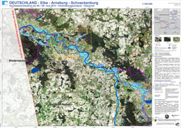
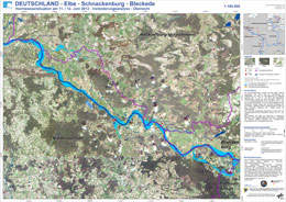
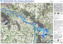
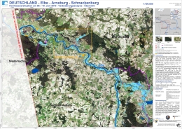
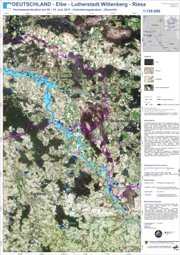
Flood extent - Elbe / Arneburg / Schnackenburg, Germany
版权: RADARSAT-2 Data and Products © MacDonald, Dettwiler and Associates Ltd. (2013) - All Rights Reserved. RADARSAT is an official trademark of the Canadian Space Agency.
TerraSAR-X - 2013 German Aerospace Center (DLR), Astrium Services / Infoterra GmbH
Map produced by ZKI
Information about the Product
已获得: RADARSAT-2: 08/06/2013
TerraSAR-X: 09/06/2013
源: RADARSAT-2 / TerraSAR-X
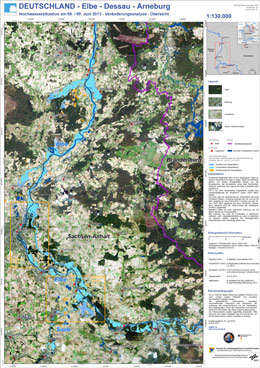
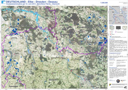
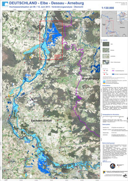
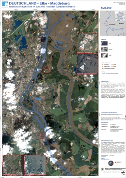
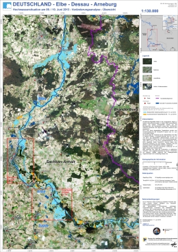
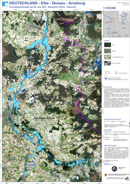
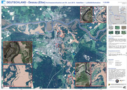
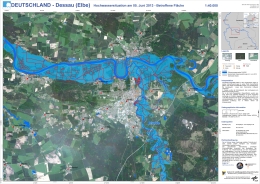
Flood extent - Elbe / Dessau / Arneburg, Germany
版权: RADARSAT-2 Data and Products © MacDonald, Dettwiler and Associates Ltd. (2013) - All Rights Reserved. RADARSAT is an official trademark of the Canadian Space Agency.
TerraSAR-X - 2013 German Aerospace Center (DLR), Astrium Services / Infoterra GmbH
Map produced by ZKI
Information about the Product
已获得: RADARSAT-2: 08/06/2013
TerraSAR-X: 09/06/2013
源: RADARSAT-2 / TerraSAR-X
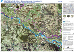
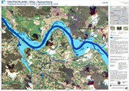
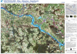
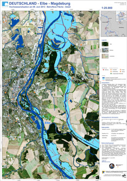
Flood extent - Elbe / Schnackenburg / Geesthacht, Germany
版权: RADARSAT-2 Data and Products © MacDonald, Dettwiler and Associates Ltd. (2013) - All Rights Reserved. RADARSAT is an official trademark of the Canadian Space Agency.
Map produced by ZKI
Information about the Product
已获得: 08/06/2013
源: RADARSAT-2
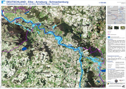
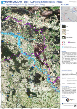
Flood extent - Elbe / Arneburg / Schnackenburg, Germany
版权: RADARSAT-2 Data and Products © MacDonald, Dettwiler and Associates Ltd. (2013) - All Rights Reserved. RADARSAT is an official trademark of the Canadian Space Agency.
Map produced by ZKI
Information about the Product
已获得: 08/06/2013
源: RADARSAT-2
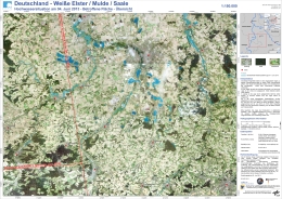
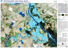
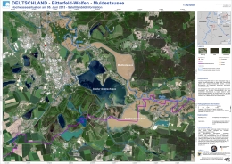
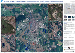
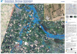
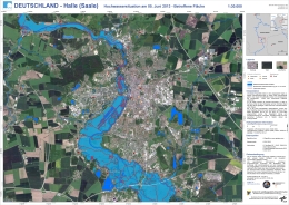
Flood extent - Weiße Elster / Mulde / Saale, Germany
版权: 2013 German Aerospace Center (DLR), Astrium Services / Infoterra GmbH
RADARSAT-2 Data and Products © MacDonald, Dettwiler and Associates Ltd. (2013) - All Rights Reserved. RADARSAT is an official trademark of the Canadian Space Agency.
Map produced by ZKI
Information about the Product
已获得: TerraSAR-X: 04/06/2013
RADARSAT-2: 04/06/2013
源: TerraSAR-X / RADARSAT-2
 返回完整的响应档案

 English
 Spanish
 French
 Chinese
 Russian
 Portuguese
