Charter activations
Floods in Germany
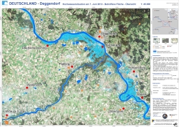
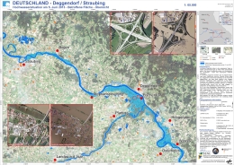
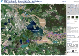
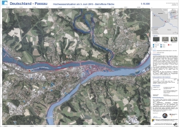
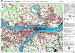
Torrential rainfall in Saxony and Bavaria (South of Germany) caused rapid increase of river levels over the weekend.
A state of emergency has been declared in the cities of Passau and Rosenheim. The Bavaria flood alert service forecasts heavy rains to worsen, affecting the Danube and Inn rivers. Other affected states are Saxony, Thuringia and Baden-Wuerttemberg.
Emergency and rescue efforts are under way, and the army has been deployed to support flood affected areas after reaching record levels of flooding.
| Type of Event: | Floods |
| Location of Event: | Germany (South and East) |
| Date of Charter Activation: | 02 June 2013 |
| Charter Requestor: | Federal Office for Civil Protection and Disaster Assistance / German Joint Information and Situation Centre |
| Project Management: | DLR Centre for Satellite-based Crisis Information (ZKI) |
Products
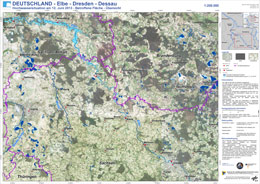
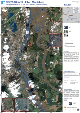
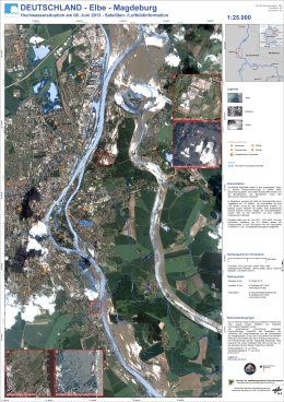
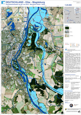
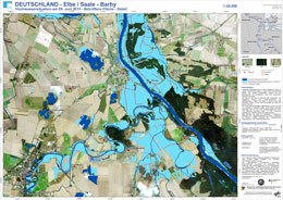
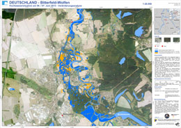
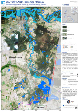
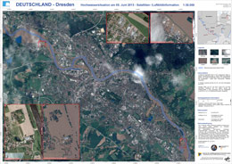
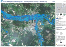
Flood extent - Elbe - Dresden - Dessau, Germany
Copyright: RADARSAT-2 Data and Products © MacDonald, Dettwiler and Associates Ltd. (2013) - All Rights Reserved. RADARSAT is an official trademark of the Canadian Space Agency.
Map produced by ZKI
Information about the Product
Acquired: 12/06/2013
Source: RADARSAT-2
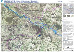
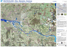
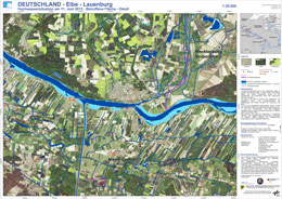
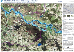
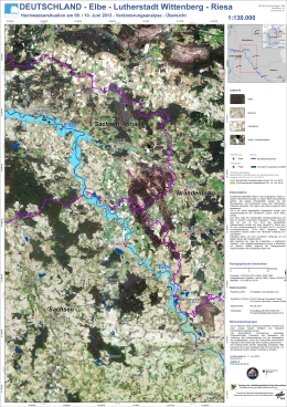
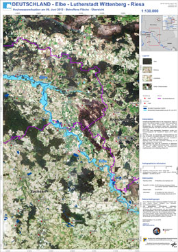
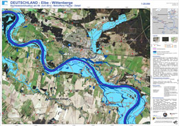
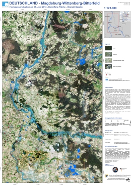
Flood extent - Elbe - Wittenberge - Bleckede, Germany
Copyright: RADARSAT-2 Data and Products © MacDonald, Dettwiler and Associates Ltd. (2013) - All Rights Reserved. RADARSAT is an official trademark of the Canadian Space Agency
Map produced by ZKI
Information about the Product
Acquired: 08/06/2013 and 12/06/2013
Source: RADARSAT-2
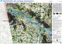
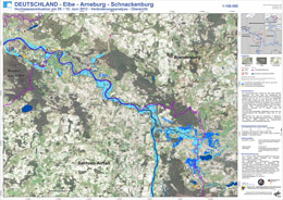
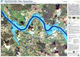
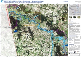
Flood extent - Elbe / Arneburg / Schnackenburg, Germany
Copyright: RADARSAT-2 Data and Products © MacDonald, Dettwiler and Associates Ltd. (2013) - All Rights Reserved. RADARSAT is an official trademark of the Canadian Space Agency.
TerraSAR-X - 2013 German Aerospace Center (DLR), Astrium Services / Infoterra GmbH
Map produced by ZKI
Information about the Product
Acquired: RADARSAT-2: 08/06/2013
TerraSAR-X: 09/06/2013
Source: RADARSAT-2 / TerraSAR-X
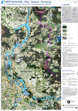
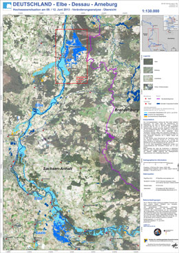
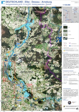
Flood extent - Elbe / Dessau / Arneburg, Germany
Copyright: RADARSAT-2 Data and Products © MacDonald, Dettwiler and Associates Ltd. (2013) - All Rights Reserved. RADARSAT is an official trademark of the Canadian Space Agency.
TerraSAR-X - 2013 German Aerospace Center (DLR), Astrium Services / Infoterra GmbH
Map produced by ZKI
Information about the Product
Acquired: RADARSAT-2: 08/06/2013
TerraSAR-X: 09/06/2013
Source: RADARSAT-2 / TerraSAR-X
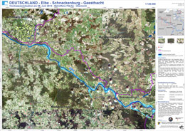
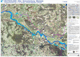
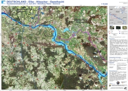
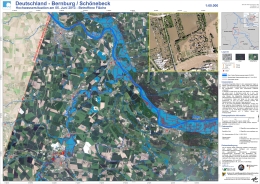
Flood extent - Elbe / Schnackenburg / Geesthacht, Germany
Copyright: RADARSAT-2 Data and Products © MacDonald, Dettwiler and Associates Ltd. (2013) - All Rights Reserved. RADARSAT is an official trademark of the Canadian Space Agency.
Map produced by ZKI
Information about the Product
Acquired: 08/06/2013
Source: RADARSAT-2
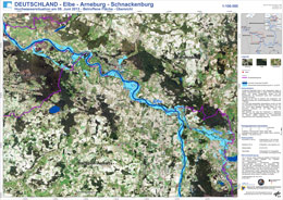
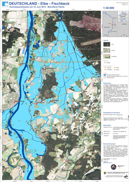
Flood extent - Elbe / Arneburg / Schnackenburg, Germany
Copyright: RADARSAT-2 Data and Products © MacDonald, Dettwiler and Associates Ltd. (2013) - All Rights Reserved. RADARSAT is an official trademark of the Canadian Space Agency.
Map produced by ZKI
Information about the Product
Acquired: 08/06/2013
Source: RADARSAT-2
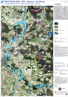
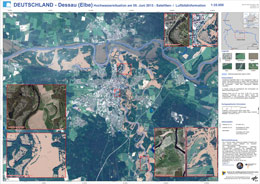
Flood extent - Elbe / Dessau / Arneburg, Germany
Copyright: RADARSAT-2 Data and Products © MacDonald, Dettwiler and Associates Ltd. (2013) - All Rights Reserved. RADARSAT is an official trademark of the Canadian Space Agency.
Map produced ZKI
Information about the Product
Acquired: 08/06/2013
Source: RADARSAT-2
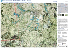
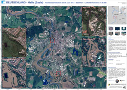
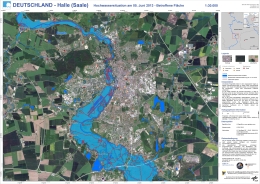
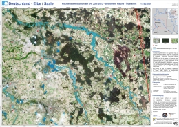
Flood extent - Weiße Elster / Mulde / Saale, Germany
Copyright: 2013 German Aerospace Center (DLR), Astrium Services / Infoterra GmbH
RADARSAT-2 Data and Products © MacDonald, Dettwiler and Associates Ltd. (2013) - All Rights Reserved. RADARSAT is an official trademark of the Canadian Space Agency.
Map produced by ZKI
Information about the Product
Acquired: TerraSAR-X: 04/06/2013
RADARSAT-2: 04/06/2013
Source: TerraSAR-X / RADARSAT-2
 Back to the full activation archive

 English
 Spanish
 French
 Chinese
 Russian
 Portuguese
