Minimizar Latest Activation

Charter activations

Floods in Romania

According to official reports from the respective countries, at least 20 people have been killed in Romania and Bulgaria in the last fifteen days as a result of floods which have caused serious damage to homes and villages. The Home Secretary has reported that more than 12,000 people have been evacuated from their homes in Romania, where at least 15 people have died in the floods which have been affecting the country in the last few weeks as a result of torrential rain.

Tipo de evento:Floods
Local do evento:Romania
Data da Ativação da Carta:15/07/2005
Requisitante da Carta:European Commission Civil Protection and Environment Unit
Gerenciamento de projeto:CNES

Products

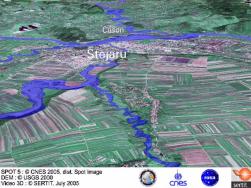
Flight Romania 2005 Stejaru Comanesti Natural colours Flood
Flyover created 22/07/2005 by SERTIT

AVI format, 111 MB

Direitos autorais: --

Information about the Product

Adquirida: --

Fonte: --
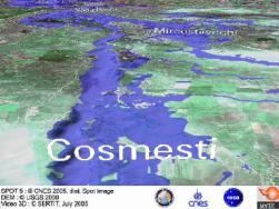
Flight Siret River Natural colours Flood
Flyover created 19/07/2005 by SERTIT

AVI format, 61 MB

Direitos autorais: --

Information about the Product

Adquirida: --

Fonte: --
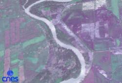
Flight Flood Romania
Flyover created 22/07/2005 by CNES

AVI format, 55 MB

Direitos autorais: --

Information about the Product

Adquirida: --

Fonte: --
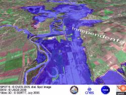
Flight Siret River Natural colours Flood
Flyover created 19/07/2005 by SERTIT AVI format, 30 MB

Direitos autorais: --

Information about the Product

Adquirida: --

Fonte: --
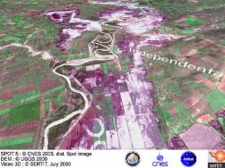
Flight Siret River Natural colours
Flyover created 19/07/2005 by SERTIT AVI format, 31 MB

Direitos autorais: --

Information about the Product

Adquirida: --

Fonte: --
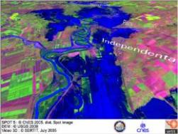
Flight Siret River
Flyover created 19/07/2005 by SERTIT AVI format, 29 MB

Direitos autorais: --

Information about the Product

Adquirida: --

Fonte: --

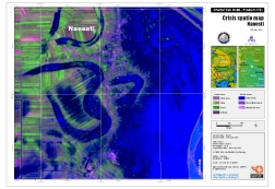
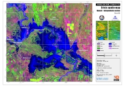
Crisis Spatiomap Spot 5 Nanesti

Direitos autorais: CNES 2005, distribution Spotimage Map created 20/07/2005 by SERTIT

Information about the Product

Fonte: Spot 5, 2.5m resolution.

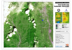
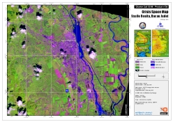
Crisis Spatiomap Spot 5 VaduRosca

Direitos autorais: CNES 2005, distribution Spotimage Map created 20/07/2005 by SERTIT

Information about the Product

Fonte: Spot 5, 2.5m resolution.

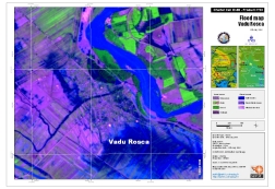
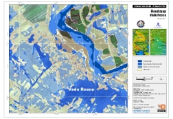
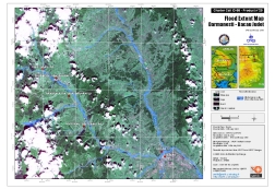
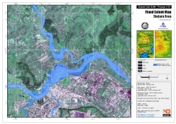
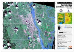
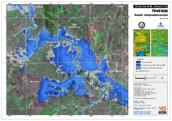
Floodmap VaduRosca

Direitos autorais: CNES 2005, distribution Spotimage Map created 20/07/2005 by SERTIT

Information about the Product

Fonte: Spot 5, Spot 2, 2.5m resolution.

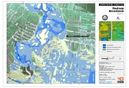
Floodmap Mircestiivechi

Direitos autorais: CNES 2005, distribution Spotimage Map created 20/07/2005 by SERTIT

Information about the Product

Fonte: Spot 5, Spot 2, 2.5m resolution.

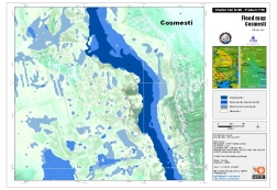
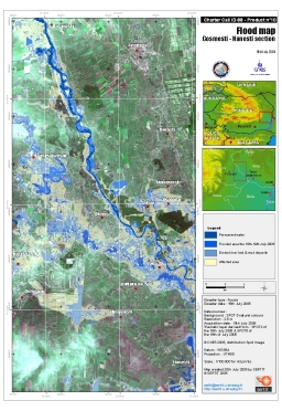
Floodmap Cosmesti

Direitos autorais: CNES 2005, distribution Spotimage Map created 20/07/2005 by SERTIT

Information about the Product

Fonte: Spot 5, Spot 2, 2.5m resolution.

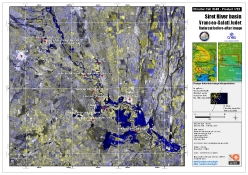
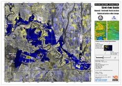
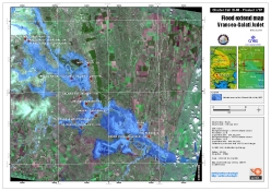
Radarsat Crisis Product Siret River Basin, Vrancea-Galati Judet

Direitos autorais: CSA 2005, distribution Radarsat Internation Map created 19/07/2005 by SERTIT

Information about the Product

Fonte: Radarsat standard mode, resolution 12.5 m

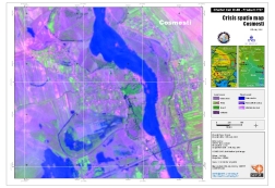
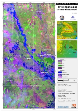
Crisis Spatiomap Spot 5 Cosmesti

Direitos autorais: CNES 2005, distribution Spotimage Map created 20/07/2005 by SERTIT

Information about the Product

Fonte: Spot 5, 2.5m resolution.

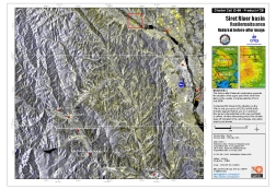
Radarsat Crisis Product Siret River Basin, Vrancea-Galati Judet

Direitos autorais: CSA 2005, distribution Radarsat Internation Map created 19/07/2005 by SERTIT

Information about the Product

Fonte: Radarsat standard mode, resolution 12.5 m

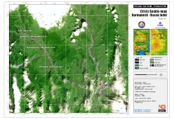
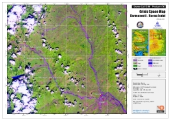
Radarsat Crisis Product Darmanesti

Direitos autorais: CSA 2005, distribution Radarsat Internation Map created 20/07/2005 by SERTIT

Information about the Product

Fonte: Radarsat standard mode, resolution 12.5 m

Crisis Spatio Map Spot2 Vasileroaita

Direitos autorais: CNES 2005, distribution Spotimage Map created 19/07/2005 by SERTIT

Information about the Product

Fonte: Spot 2, 10m resolution 10m

Floodmap Darmanesti Map created 20/07/2005 by SERTIT

Crisis Spatio Map Spot2 Darmanesti

Direitos autorais: CNES 2005, distribution Spotimage Map created 19/07/2005 by SERTIT

Information about the Product

Fonte: Spot 2, 10m resolution 10m

Crisis Spacemap Spot 5 Darmanesti

Direitos autorais: CNES 2005, distribution Spotimage Map created 19/07/2005 by SERTIT

Information about the Product

Fonte: Spot 5, 2.5m resolution.

Flood Map Spot5

Direitos autorais: CNES 2005, distribution Spotimage Map created 20/07/2005 by SERTIT

Information about the Product

Fonte: Spot 5, 2.5m resolution 2.5m

Floodmap Stejaru 25k Map created 19/07/2005 by SERTIT

Crisis Spatiomap Spot5

Direitos autorais: CNES 2005, distribution Spotimage Map created 20/07/2005 by SERTIT

Information about the Product

Fonte: Spot 5, 2.5m resolution 2.5m

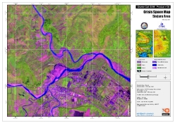
Crisis Spacemap Spot 5 Stejaru 25k

Direitos autorais: CNES 2005, distribution Spotimage Map created 19/07/2005 by SERTIT

Information about the Product

Fonte: Spot 5, 2.5m resolution.

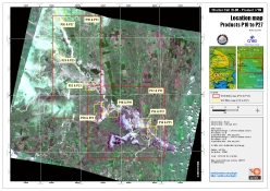
Location map for images p10-p27

Direitos autorais: CNES 2005, distribution Spotimage Map created 20/07/2005 by SERTIT

Information about the Product

Fonte: Spot 5, Spot 2, 2.5m resolution

Floodmap Vasileroaita 50k Map created 19/07/2005 by SERTIT

Flood Map North Nanesti

Direitos autorais: CNES 2005, distribution Spotimage Map created 20/07/2005 by SERTIT

Information about the Product

Fonte: Spot 5, Spot 2, 2.5m resolution.

Crisis Spacemap Spot 5 Vasileroaita 50k

Direitos autorais: CNES 2005, distribution Spotimage Map created 19/07/2005 by SERTIT

Information about the Product

Fonte: Spot 5, 2.5m resolution

Crisis Spatio Map North Nanesti

Direitos autorais: CNES 2005, distribution Spotimage Map created 20/07/2005 by SERTIT

Information about the Product

Fonte: Spot 5, 2.5m resolution.

Crisis Spatio Map South Nanesti Map created 20/07/2005 by SERTIT

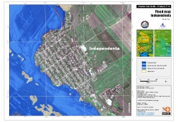
Floodmap Independenta

Direitos autorais: CNES 2005, distribution Spotimage Map created 20/07/2005 by SERTIT

Information about the Product

Fonte: Spot 5, Spot 2, 2.5m resolution.

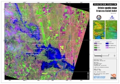
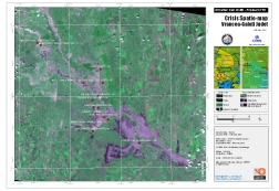
Crisis Spatio Map Spot2 Siret River Basin, Vrancea-Galati Judet

Direitos autorais: CNES 2005, distribution Spotimage Map created 18/07/2005 by SERTIT

Information about the Product

Adquirida: 18/07/2005

Fonte: Spot 2, 10m resolution 10m

Flood Map South Nanesti

Direitos autorais: CNES 2005, distribution Spotimage Map created 20/07/2005 by SERTIT

Information about the Product

Fonte: Spot 5, Spot 2, 2.5m resolution.

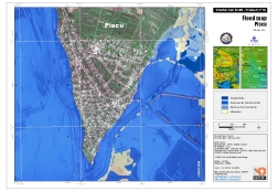
Floodmap Piscu

Direitos autorais: CNES 2005, distribution Spotimage Map created 20/07/2005 by SERTIT

Information about the Product

Fonte: Spot 5, 2.5m resolution.

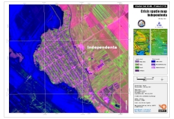
Crisis Spatiomap Spot 5 Independenta

Direitos autorais: CNES 2005, distribution Spotimage Map created 20/07/2005 by SERTIT

Information about the Product

Fonte: Spot 5, 2.5m resolution.

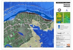
Floodmap Namoloasa

Direitos autorais: CNES 2005, distribution Spotimage Map created 20/07/2005 by SERTIT

Information about the Product

Fonte: Spot 5, Spot 2, 2.5m resolution.

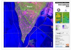
Crisis Spatiomap Spot 5 Piscu

Direitos autorais: CNES 2005, distribution Spotimage Map created 20/07/2005 by SERTIT

Information about the Product

Fonte: Spot 5, 2.5m resolution.

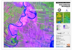
Crisis Spatiomap Spot 5 Mircestiivechi

Direitos autorais: CNES 2005, distribution Spotimage Map created 20/07/2005 by SERTIT

Information about the Product

Fonte: Spot 5, 2.5m resolution.

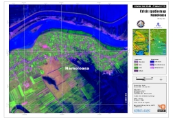
Crisis Spatiomap Spot 5 Namoloasa

Direitos autorais: CNES 2005, distribution Spotimage Map created 20/07/2005 by SERTIT

Information about the Product

Fonte: Spot 5, 2.5m resolution

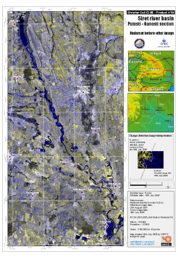
Radarsat Crisis Product Siret River Basin, Vrancea-Galati Judet

Direitos autorais: CSA 2005, distribution Radarsat Internation Map created 19/07/2005 by SERTIT

Information about the Product

Fonte: Radarsat standard mode, resolution 12.5 m

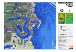
Floodmap Nanesti Map created 20/07/2005 by SERTIT

Voltar ao arquivo completo da Ativação