Other
In addition to the most common forms of natural disasters, there are other types of disasters which may benefit from satellite observations.
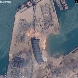
Technological disasters may occur in the event of a train or aircraft crash, or an accident at a factory, power plant or other large scale infrastructure. Satellite observations can be used to map the extent of the disaster area for first responders.
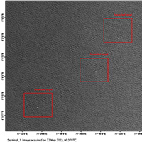
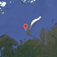
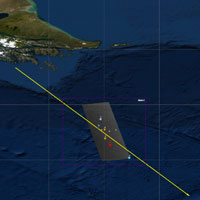
Satellite imagery may be used to help in the search for missing ocean-going vessels or aircraft, but this is very challenging. Unless there is an indication of where to search for the missing craft to begin with it can be all but impossible to find a lone craft in a vast ocean.
Outbreaks of disease on an epidemic scale may be mapped using satellite imagery. Satellites cannot see the disease, but imagery can be used in coordination with in-situ reports to produce maps of the affected area; identifying local hospitals and emergency response infrastructure.
Sandstorms may pose respiratory hazards, and some storms may carry diseases in their wake. Satellite images can track the movement of sand and dust in large quantities as it moves through the atmosphere, helping to map its current impact and forecast where it may move to next.
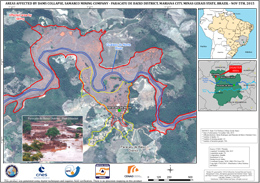
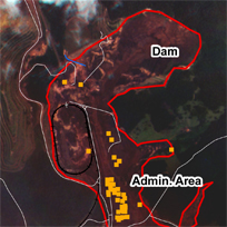
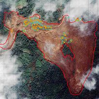
Areas affected by Samarco dam collapse, Paracatu de Baixo District, Brazil
Acquired: 12/11/2015
Source: Pleiades
${media-credit-description.data}

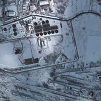
Lac-Mégantic train disaster
Acquired: Worldview-1: 29/06/2012
QuickBird-2: 07/07/2013
Source: WorldView-1
QuickBird-2
${media-credit-description.data}

 English
 Spanish
 French
 Chinese
 Russian
 Portuguese
