Minimiser Dernière activation

Charter activations

Tremblement de terre - Iran

Un tremblement de terre d'une magnitude de 6,4 sur l'échelle de Richter a frappé, mardi 22 février, le sud-est de l'Iran. Un violent séisme a fait au moins 170 morts et 5 000 blessés, selon un bilan provisoire, dans la province de Kerman (sud-est de l'Iran). Neuf villages de la région ont été endommagés. Fin mai 2004, un séisme qui avait secoué tout le nord de l'Iran et Téhéran avait fait 35 morts et 220 blessés.

Type of Event:Tremblement de terre
Location of Event:Iran
Date of Charter Activation:22/02/2005
Charter Requestor:European Monitoring and Information Centre, Agence française de protection civile, United Nations Office for Outer Space Affairs (UNOOSA)
Project Management:ESA

Products

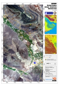
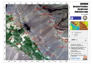
Province de Kerman, Iran

Copyright: CNRS 2004.
Carte Mosaïque Spot
Carte produite le 25/02/2005 par SERTIT

Information about the Product

Acquired: 01/06/2004

Source: SPOT 5, résolution 2.5m

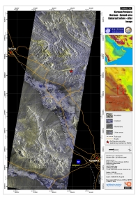
Secteur Kerman-Zarand, Iran, Spatio-carte avant-après.

Copyright: CSA, Radarsat International. Radarsat Change Overview Carte produite le 25/02/2005 par SERTIT

Information about the Product

Acquired: 28/04/1998 and 25/02/2005.

Source: Radarsat Résolution 6.25 m
Échelle: 1:250.000.

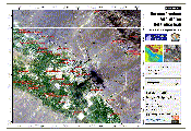
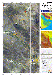
Kerman Province - Zarand Area, Iran

Copyright: ISRO 2004.
Carte produite le 28/02/2005 par SERTIT

Information about the Product

Acquired: 27 Aug & 8 Sept 2004

Source: Échelle 1:75,000

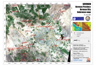
Province de Kerman, Iran

Copyright: SERTIT.
Carte produite le 25/02/2005 par SERTIT

Information about the Product

Acquired: 01/06/2004

Source: SPOT 5, résolution 2.5 m
Échelle 1:75.000

Province de Kerman, Iran

Copyright: CNRS 2004.
Carte produite le 25/02/2005 par SERTIT

Information about the Product

Acquired: 01/06/2004

Source: SPOT 5,
résolution 2.5m.
Échelle 1:75.000.

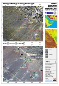
Secteur Deh Asghar, Iran, Spatio-carte avant-après.

Copyright: CSA, Radarsat International.
Carte produite le 25/02/2005 par SERTIT

Information about the Product

Acquired: 28/04/1998 and 25/02/2005.

Source: Radarsat
Résolution 6.25 m.
Échelle: 1:50.000.

Kerman Province - Iran, secteur de Dahu' iyeh, Spatio-carte avant-après

Copyright: ISRO 2004/5.
Carte produite le 03/03/2005 par SERTIT

Information about the Product

Acquired: 29 August 2004

Source: IRS
Échelle 1/10 000.

Kerman Province - Ravar Area, Iran

Copyright: ISRO 2004.

Information about the Product

Acquired: 05 août 2004

Source: Carte produite le 28/02/2005 par SERTIT Échelle 1:400,000.

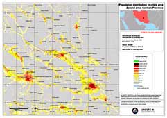
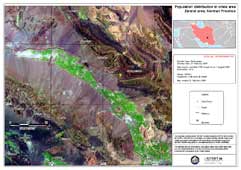
Densité de la Population du Zadang

Information about the Product

Source: LandScan 2002
Résolution: 1km
Datum: WGS84
Projection: UTM Zone 40 N

Image prise par Landsat avant le désastre de Zadang

Information about the Product

Acquired: 7 août 2000

Source: Landsat ETM+
Resolution: 30m
Datum: WGS84
Projection: UTM Zone 40 N

Back to the full activation archive