Charter activations
Flood in Scotland
Heavy rain caused widespread flooding in Scotland in the last few days of December.
Hundreds of people were affected when water levels in rivers rose to high levels. The Scottish Environment Protection Agency issued rare Severe Flood Warnings as the flood posed a risk to lives.
The flood caused disruption to power and transport, with rail lines and roads flooded or blocked by landslips.
The Severe Flood Warnings have been removed as water levels decreased in the following days, but the standing flood water still poses a hazard.
| Type of Event: | Flood |
| Location of Event: | United Kingdom |
| Date of Charter Activation: | 2024-12-30 |
| Time of Charter Activation: | 19:04 |
| Time zone of Charter Activation: | UTC+00:00 |
| Charter Requestor: | Scottish Environment Protection Agency (SEPA) |
| Activation ID: | 941 |
| Project Management: | Ernest de Rijk (Scottish Environment Protection Agency (SEPA)) |
| act-value-adders: | University of Stirling Copernicus EMS (Copernicus EMS) |
 | Activation handled in collaboration with Copernicus Emergency Management Service |
Products

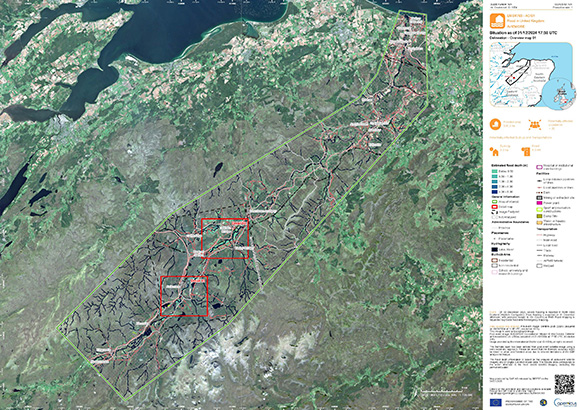
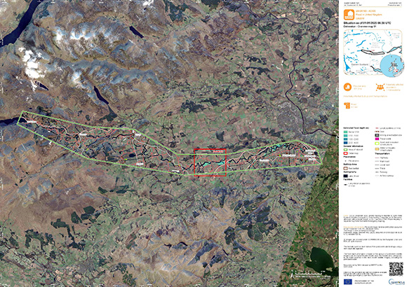
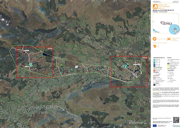
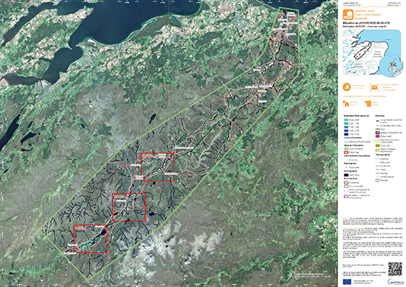
Flood delineation over Aviemore, United Kingdom
Copyright: RADARSAT Constellation Mission Imagery © Government of Canada (2024) - RADARSAT is an official mark of the Canadian Space Agency
Map produced by Copernicus EMS
Information about the Product
Acquired: 31/12/2024
Source: RCM
Category: Delineation Map
 Back to the full activation archive

 English
 Spanish
 French
 Chinese
 Russian
 Portuguese


