Charter activations
埃塞俄比亚洪灾
埃塞俄比亚欧加登地区的洪灾日益严重,据报道有79人死亡,并且河流水位还在上升。
| 事件类型: | 洪灾 |
| 事件地点: | 埃塞俄比亚 |
| 启动宪章的日期: | 2006年11月3日 |
| 宪章要求者: | UN OOSA代表 WFP |
| 项目经理: | UNOSAT |
Products
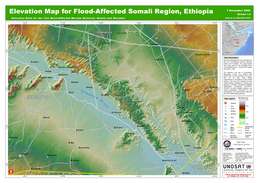
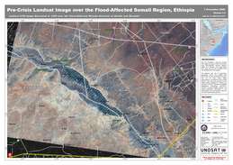
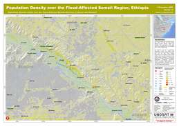
Local elevations for the two most-affected Woreda districts: Kelafo and Mustahil. The approximate flood plain area for the Shabelle River was identified from a Landsat ETM image of in 1999.
版权: USGS 1999
Image processing, map created by UNOSAT.
Information about the Product
已获得: 08/11/2006
源: Landsat 7, GIST, Global Insight, UNOSAT
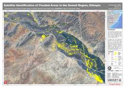
Areas likely covered with standing flood waters and exposed soils saturated with water over the flood-affected Woreda district of Kelafo. Analysis made using post-crisis RADARSAT-1 data acquired 06/11/2006, not yet validated in the field.
版权: CSA 2006
USGS 2006
GIS Data: GIST, GLCF, UNOSAT Image processing, map created 14/11/2006 by UNOSAT.
Information about the Product
已获得: RADARSAT-1: 06/11/2006
Landsat ETM: 21/11/1999
源: RADARSAT-1, Landsat ETM
 返回完整的响应档案

 English
 Spanish
 French
 Chinese
 Russian
 Portuguese
