 English
 Spanish
 French
 Chinese
 Russian
 Portuguese
 Последняя Активация
Charter activations
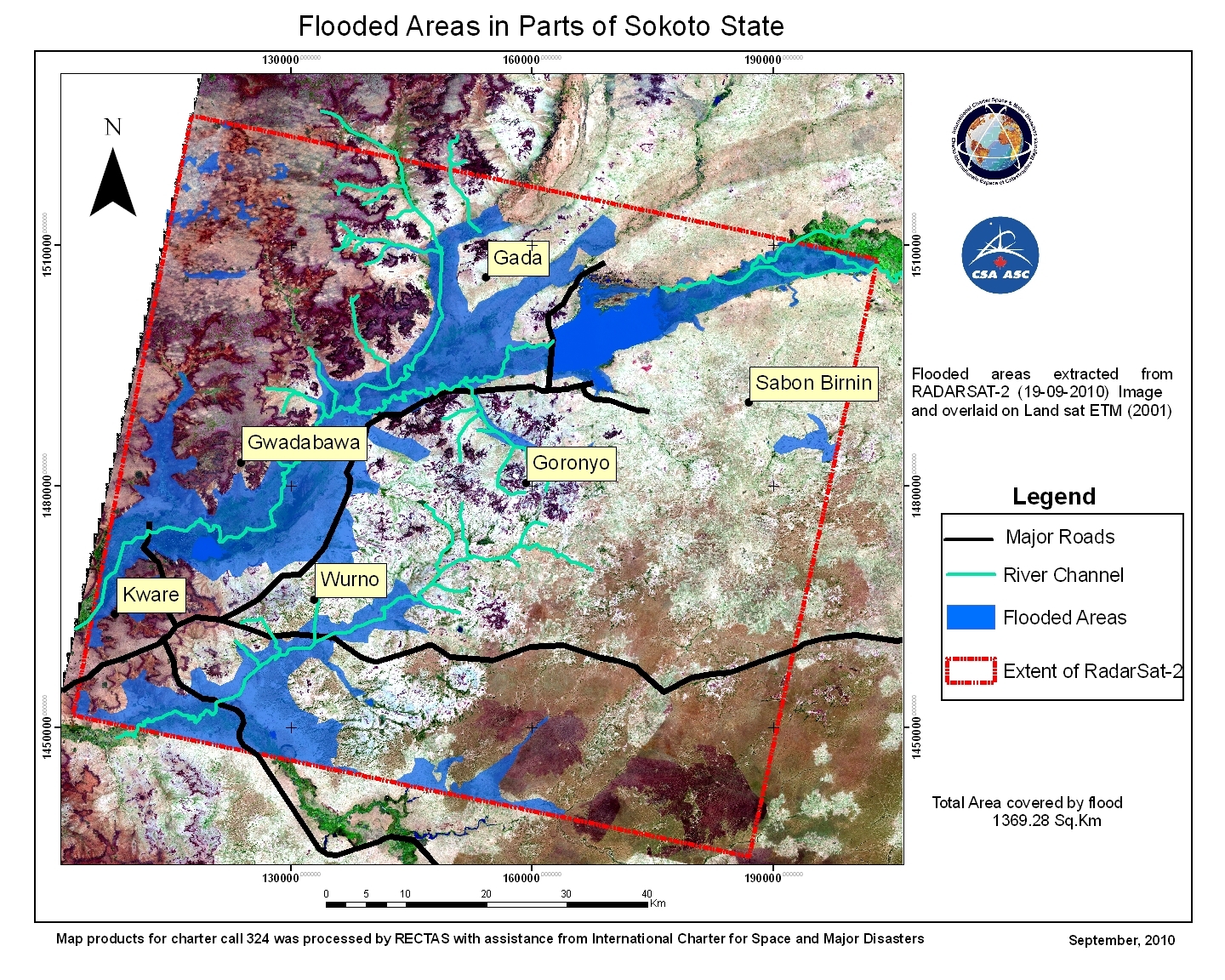
Flooding in Nigeria
The flooding in Sokoto state, Nigeria is a result of the Goronyo dam failing after heavy rainfall, washing away settlements and farmlands in nine local council areas; Binji, Gudu, Lllela, Silame, Tangaza, Kware, Gwadabawa, Gada and Goronyo.
This flood has extended to Kebbi State which shares a common border with Sokoto; affecting Local Government Areas Augie, Argungu, Birnin Kebbi, Kalgo and Bunza.
| Тип события: | Floods |
| Место события: | Nigeria |
| Date of Charter Activation: | 09/09/2010 |
| Запрос на активацию поступил от: | National Emergency Management Agency (NEMA) |
| Менеждер проекта от: | - |
 Вернуться к полному архиву активаций

