Charter activations
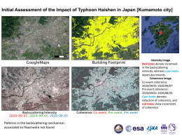
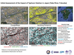
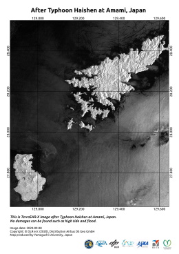
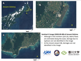
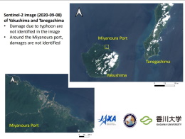
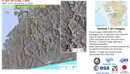
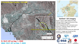
Typhoon Haishen in Japan
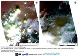
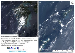
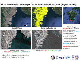
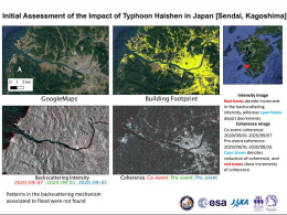
Typhoon Haishen has intensified, strengthening into a super typhoon and is expected to make landfall in southwestern Japan in the coming hours.
Haishen has estimated wind speeds of 145-160mph, and the Joint Typhoon Warning Center predicts the storm will hit Japan as a category 3 storm before moving northwards. The storm is expected to bring heavy rainfall, sustained high winds and huge waves.
Water has been discharged at nine dams in Wakayama, Nagasaki and Kagoshima prefectures to prevent flooding. Japan's Meteorological Agency officials have urged residents of Kyushu and Okinawa to brace for the storm and prepare for possible evacuations.
| Tipo de evento: | Cyclone |
| Local do evento: | Japan |
| Data da Ativação da Carta: | 2020-09-04 |
| Tempo de Ativação da Carta: | 21:35 |
| Zona de Tempo da Ativação da Carta: | UTC+09:00 |
| Requisitante da Carta: | ADRC |
| ID da Ativação: | 674 |
| Gerenciamento de projeto: | Yamaguchi University |
Products
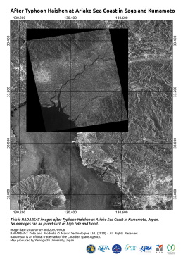
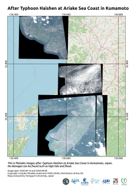
After Typhoon Haishen at Ariake Sea Coast in Saga and Kumamoto
Direitos autorais: RADARSAT Constellation Mission Imagery © Government of Canada (2020) - RADARSAT is an official mark of the Canadian Space Agency
Map produced by Yamaguchi University, Japan
Information about the Product
Adquirida: 08/09/2020
Fonte: RCM
 Voltar ao arquivo completo da Ativação

 English
 Spanish
 French
 Chinese
 Russian
 Portuguese
