Dernière activation
17 novembre 2024
Super Typhoon Man-yi in the Philippines14 novembre 2024
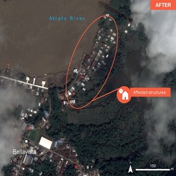
Flood in Colombia14 novembre 2024
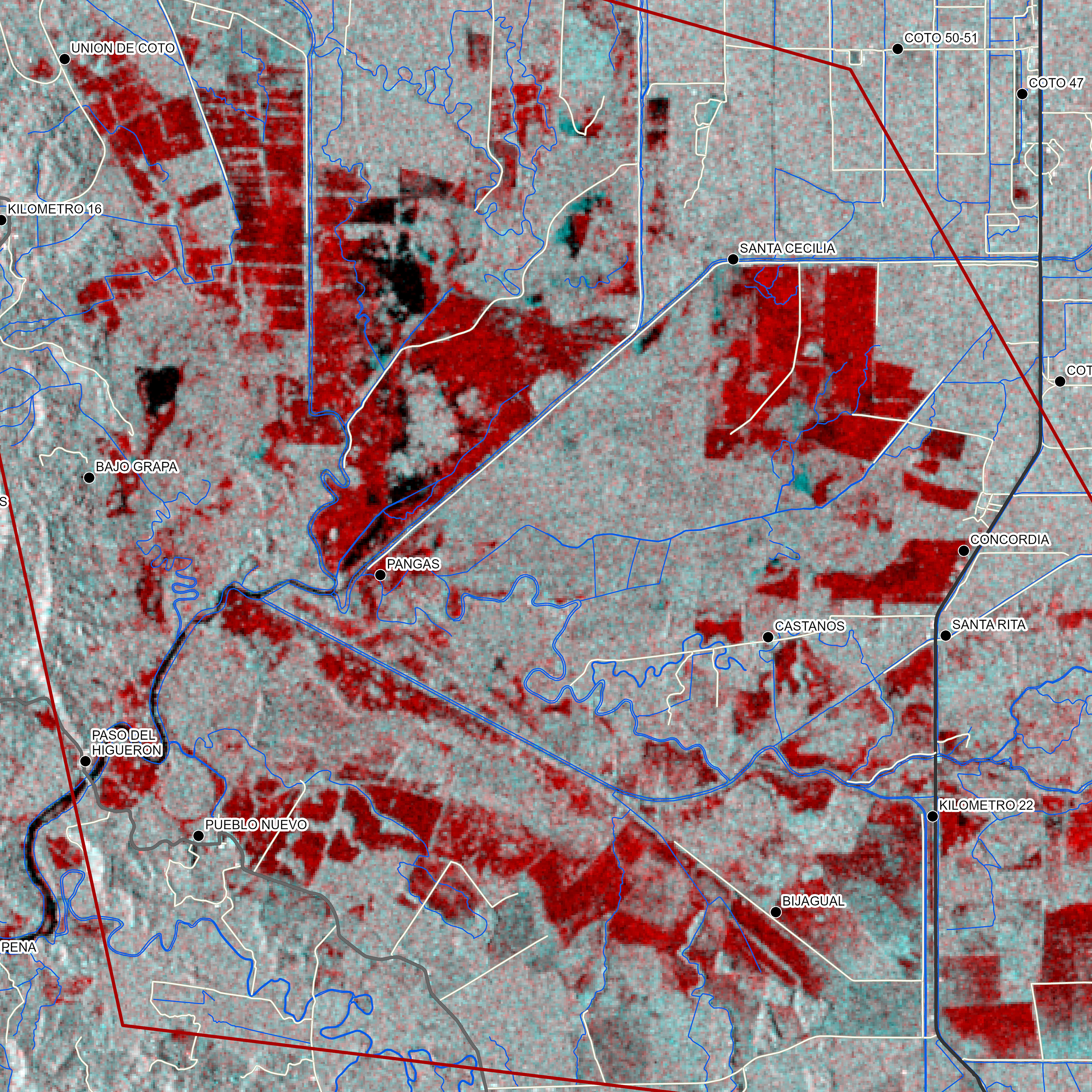
Flood in Costa Rica07 novembre 2024
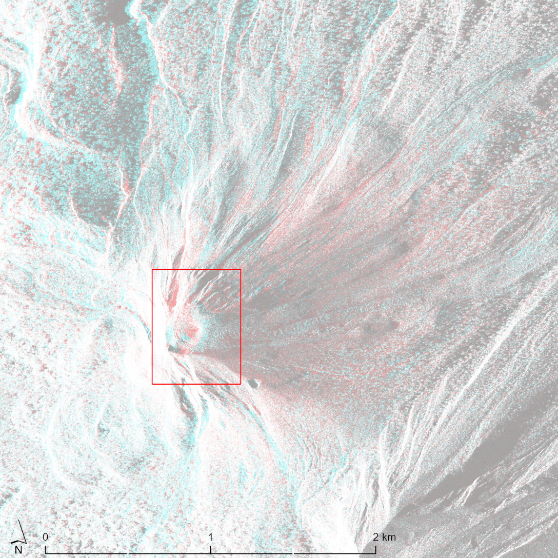
Mount Lewotobi Laki-laki Volcano Eruption in Indonesia07 novembre 2024
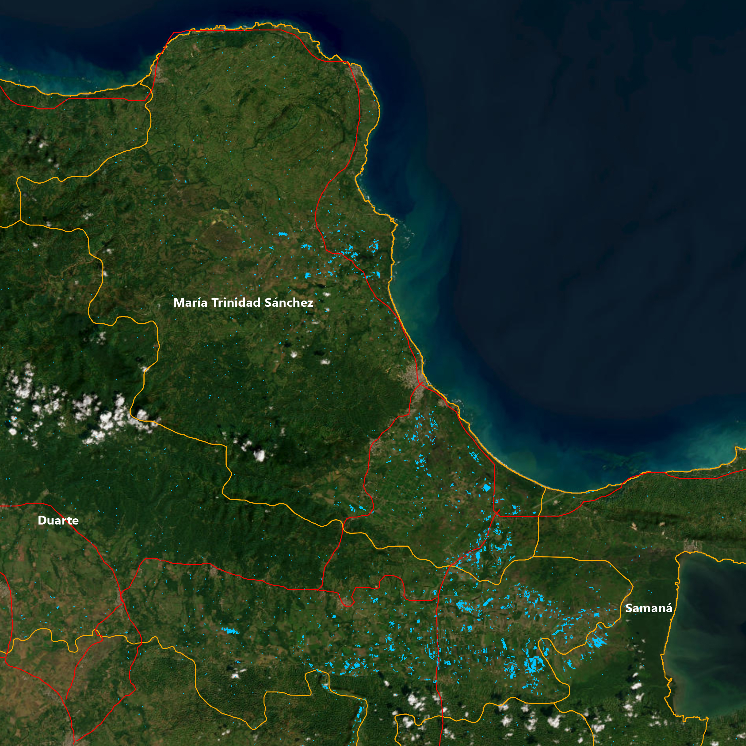
Flooding in The Dominican Republic04 novembre 2024
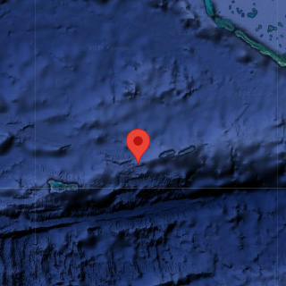
Tropical Storm Rafael in the Cayman Islands01 novembre 2024
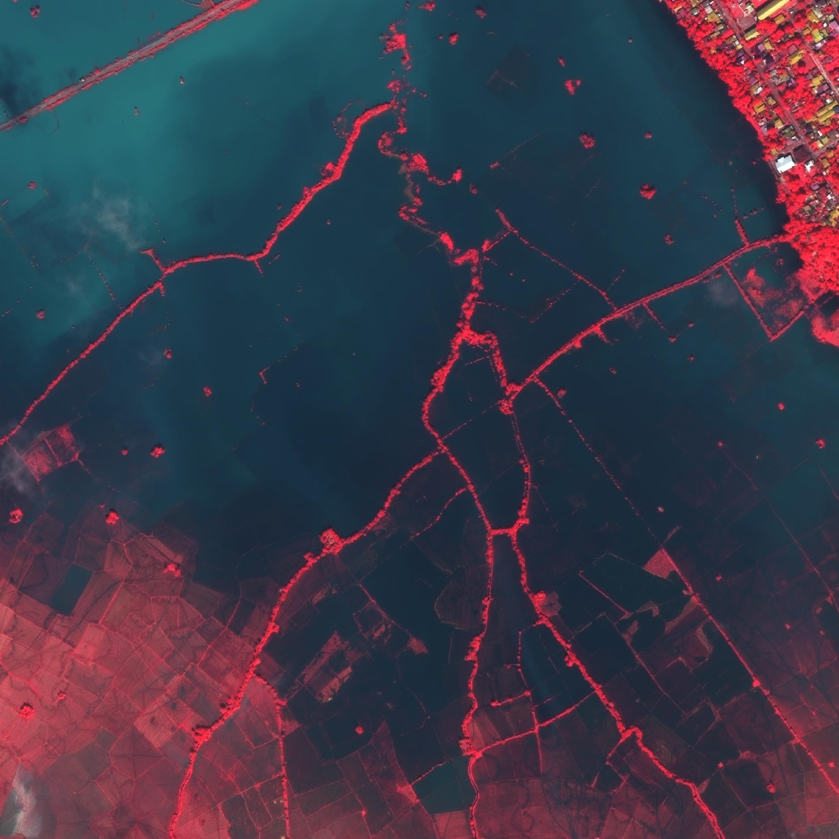
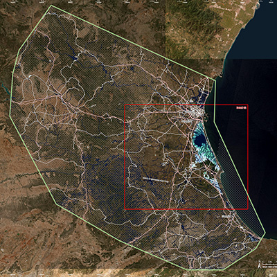
Flood in Spain23 octobre 2024
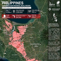
Tropical Storm Trami in the Philippines
Informations récentes
17 juillet 2024
23rd Annual Report of the Charter
Charter Members
La Charte internationale est composée d'agences spatiales et d'exploitants de systèmes spatiaux du monde entier qui collaborent pour fournir des images satellitaires à des fins de surveillance des catastrophes. En savoir plus sur les membres actuels sur leurs sites Web.
L'Accès Universel
Charter Partners
La Charte est soutenue par des partenaires du monde entier qui contribuent à nos efforts ou partagent des objectifs similaires.
- Certaines organisations fournissent des services de surveillance des catastrophes pour certaines régions du monde et collaborent avec la Charte à la diffusion des données aux utilisateurs finaux
- Les fournisseurs de données fournissent des données satellitaires supplémentaires pour la surveillance des catastrophes
- Les fournisseurs à valeur ajoutée produisent des cartes basées sur les données satellitaires à utiliser pour interpréter et évaluer les situations de catastrophe
Data contributors
Find out which organisations contribute data from their satellites to the Charter. These companies add to the Charter Members' virtual constellation, providing a wide range of satellites and data to support disaster monitoring.
Cooperating bodies
Learn about Cooperating Bodies who provide disaster management services worldwide and have cooperating relations with the Charter, or do so for specific regions of the world. They work with the Charter to further distribution of data to end users around the world.
Value adding organisations
Discover organisations that provide value-adding services for the Charter, producing maps based on satellite data for use in interpreting and assessing disaster situations.

 English
 Spanish
 French
 Chinese
 Russian
 Portuguese
