Minimize Latest Activation

Charter activations

Extreme floods in North province of Cameroon

Extreme floods have devastated Northern regions of Cameroon. Nearly 20 people have died and thousands more are left homeless.

Continuous rainfall and the release of the Ladgo Dam caused the Benoe River to burst its banks, which flooded neighbouring residential areas.

Faro, Mayo Louti, and Benoue areas were most hard-hit by the floods, destroying crop and rice fields thus causing shortages of food supplies. There are growing concerns of infections such as cholera and malaria being spread through flood waters.

Rescue operations are under way; more than 2,500 people have been medically treated and placed into tents.

Type of Event:Flood
Location of Event:Maga, Mayo-Danay
Date of Charter Activation:06 September 2012
Charter Requestor:USGS on behalf of Civil Protection Directorate, Cameroon
Project Management:European Commission, Joint Research Centre

Products

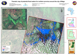
Thematic map of potential flood waters northern province around city of Maga

Copyright: CSIRP and NFC

Information about the Product

Acquired: 10/09/2012

Source: Sich-2

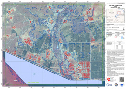
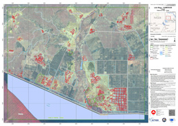
Delineation Map - Detail map of Lake Maga
Scale: 1:20000

Copyright: CNES
Canadian Space Agency
European Commission

Information about the Product

Acquired: RADARSAT-2: 09/09/2012
SPOT-5: 09/01/2012, 05/01/2011

Source: RADARSAT-2 / SPOT-5

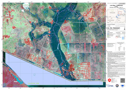
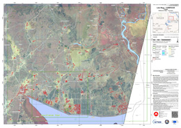
Delineation Map - Detail - Monit. 01 - Lake Maga
Scale: 1:20000

Copyright: CNES
European Commission

Information about the Product

Acquired: 09/01/2012

Source: SPOT-5

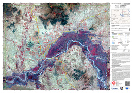
Delineation Map - Overview of Garoua

Copyright: CNES
Canadian Space Agency
European Commission

Information about the Product

Acquired: RADARSAT-2: 09/09/2012
SPOT-5: 09/01/2012 and 05/01/2011

Source: RADARSAT-2 / SPOT-5

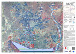
Reference Map - Detail map of Lake Maga
Scale: 1:20000

Copyright: CNES
European Commission

Information about the Product

Acquired: 09/01/2012

Source: SPOT-5

Reference Map - Overview of Lake Maga
Scale: 1:50000

Copyright: CNES
European Commission

Information about the Product

Acquired: 09/01/2012

Source: SPOT-5

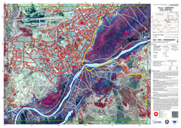
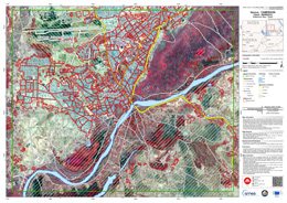
Delineation Map - Detail view of Garoua
Scale: 1:20000

Copyright: CNES
Canadian Space Agency
European Commission

Information about the Product

Acquired: RADARSAT-2 - 09/01/2012
SPOT-5 - 09/01/2012 and 29/10/2007

Source: RADARSAT-2 / SPOT-5

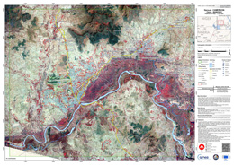
Delineation Map - Overview of Garoua
Scale: 1:50000

Copyright: CNES
Canadian Space Agency
European Commission

Information about the Product

Acquired: RADARSAT-2: 09/09/2012
SPOT-5: 09/01/2012 and 29/10/2012

Source: RADARSAT-2 / SPOT-5

Reference Map - Detail map of Garoua
Scale: 1:20000

Copyright: CNES
European Commission

Information about the Product

Acquired: 09/01/2012

Source: SPOT-5

Reference Map - Overview of Garoua
Scale: 1:50,000

Copyright: CNES
European Commission

Information about the Product

Acquired: 09/01/2012

Source: SPOT-5

Back to the full activation archive